
Parts of Haiti is in Google Street View, though not official images from Google but rather from third parties. The newest and longest route shown is in the north between Cap Haitian and Port-de-Paix plus a section of Tortuga Island.
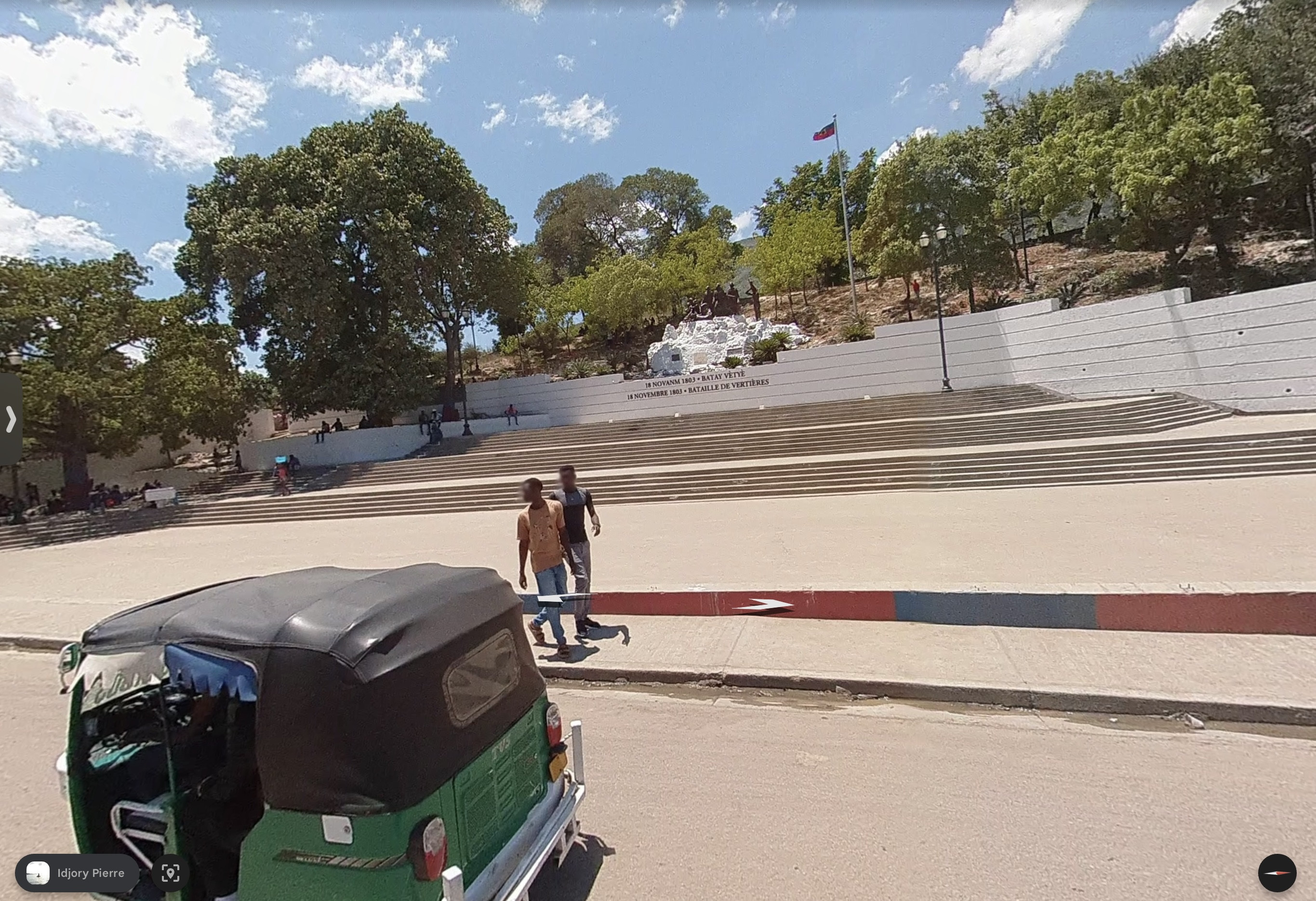
Cap Haitian
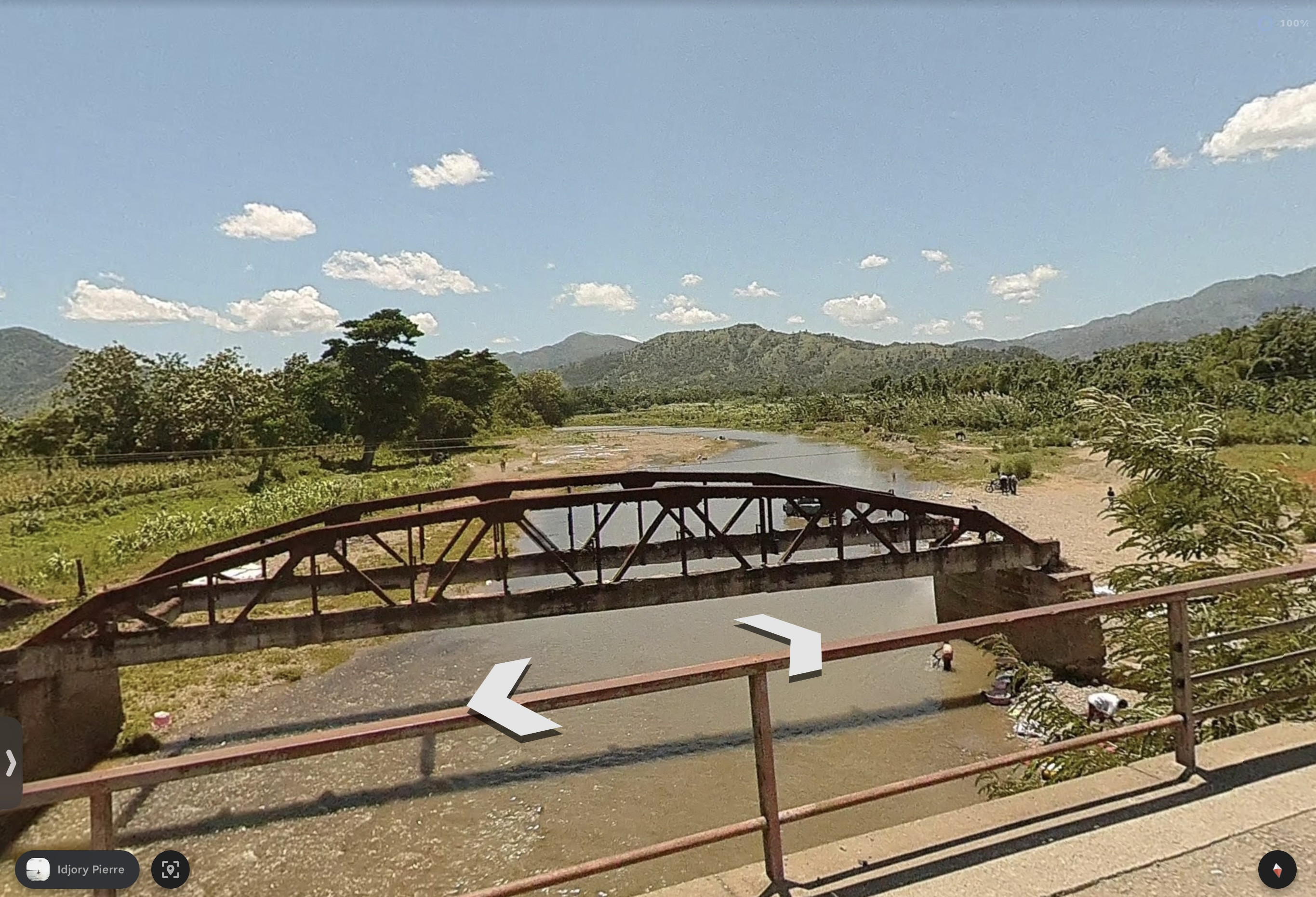
Limbé River - The mountains seen in this and the next image are of the Massif du Nord (the same Central Mountains of the DR, just in Haiti they are closer to the coast; these are not an extendion of the Septentrional Mountains seen Puerto Plata which are entirely in the DR.)
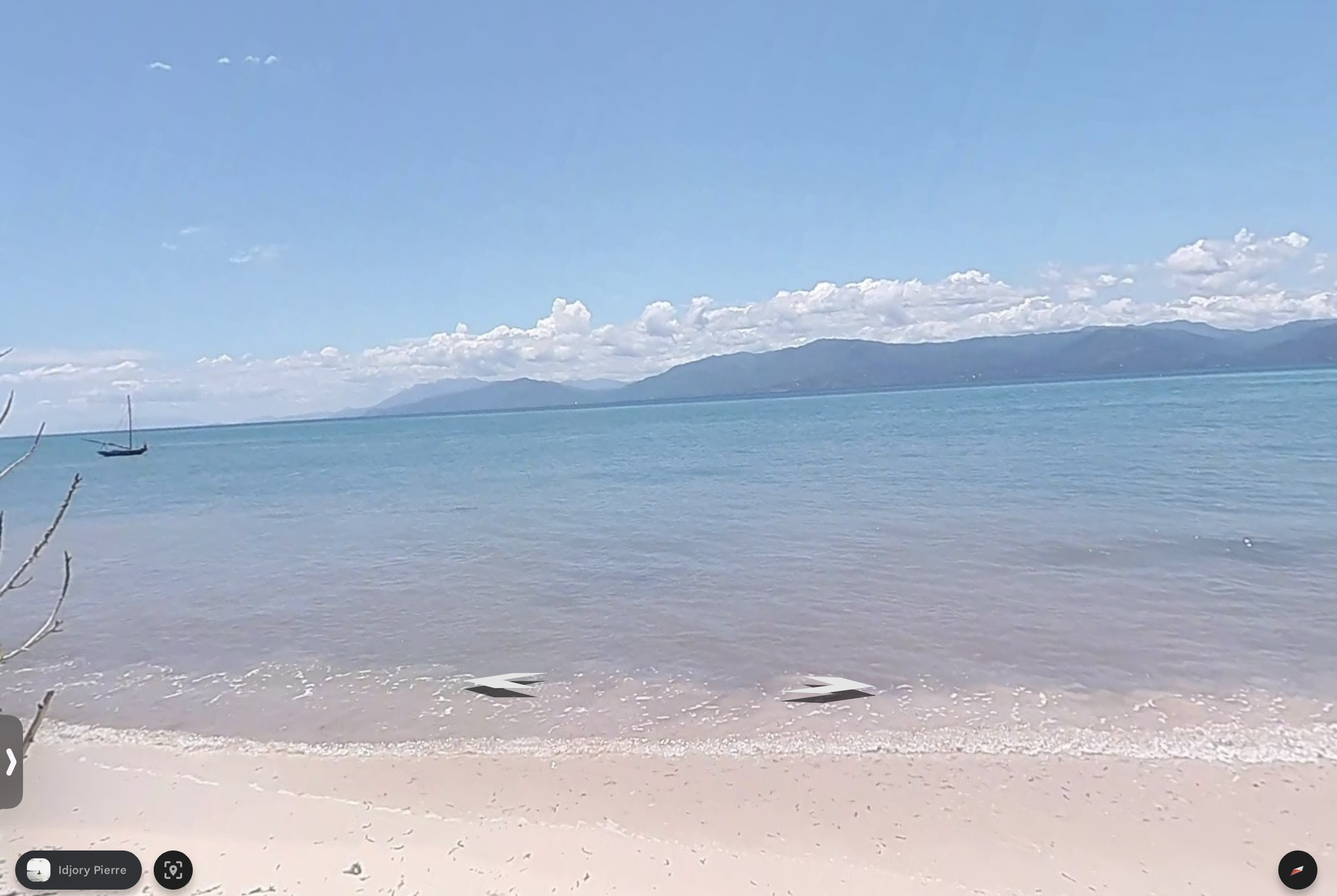
Hispaniola from Tortuga Island.
Cap Haitian
Limbé River - The mountains seen in this and the next image are of the Massif du Nord (the same Central Mountains of the DR, just in Haiti they are closer to the coast; these are not an extendion of the Septentrional Mountains seen Puerto Plata which are entirely in the DR.)
Hispaniola from Tortuga Island.
