
Hurricane season starts in June, yet the recent rains that cut transit between Santiago and Puerto Plata last week, are a reminder of the need to prepare. The intense rains over the past week in the region of the Cibao Valley resulted in areas of the central region being cut off due to landslides. The tiny town of Palo Alto, deep in the Northern Mountains (Septentrional), and the Luperón Tourist Highway between Santiago and Puerto Plata were affected. Units from the Ministry of Public Works were dispatched to resolve the blockages.
While the roads were opened to traffic fairly quickly, these incidents do provide a lesson to the population: When the Center for Emergency Operations (COE) issues a weather alert, be it green, yellow or red, please pay attention.
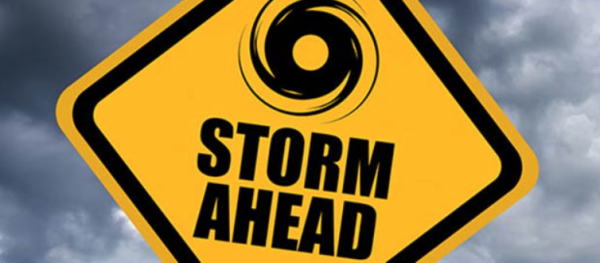
The rains are also a reminder of the upcoming hurricane season. Forecasters are calling for a “more active than usual” season. In fact, the forecasters from AccuWeather are calling for between 16 and 20 named, tropical storms and between 6 and 8 hurricanes of which as many as five (5) may become major storms of Cat 3 or above. The last time there were a “normal” number of tropical disturbances was in 2015.
Forecasters, led by Dan Kattlowski who has been doing this for some 45 years, are saying that it is very possible for between four to six of these storms to make landfall, either in the islands of the Caribbean or along the Gulf or Atlantic shores of North America. Much of this is due to the oceanic phenomenon of La Niña over in the tropical Pacific Ocean. NOAA is predicting La Niña will continue into summer, keeping tropical storm formation high. Colorado State University has scheduled its first formal forecast for the 2022 season for 7 April 2022.
The Atlantic Ocean Hurricane season is from 1 June to 30 November 2022.
The good news, nevertheless, is that the weather is improving. Sunny skies are forecast for the start of the week.
Read more:
Florida Today
Diario Libre
Diario Libre
Onamet
4 April 2022