
The National Weather Office reports that the combination of the effects of a trough and the incidence of a tropical wave will continue to dominate the weather in the country. The trough is moving to Puerto Rico.
The systems, meanwhile have produced moderate to heavy downpours at times, thunderstorms and wind gusts until the early hours of Tuesday, 26 July 2022. Most of the rainstorms have affected the northwest, north, northeast, southeast, Central Mountain Range and some points of the border area.
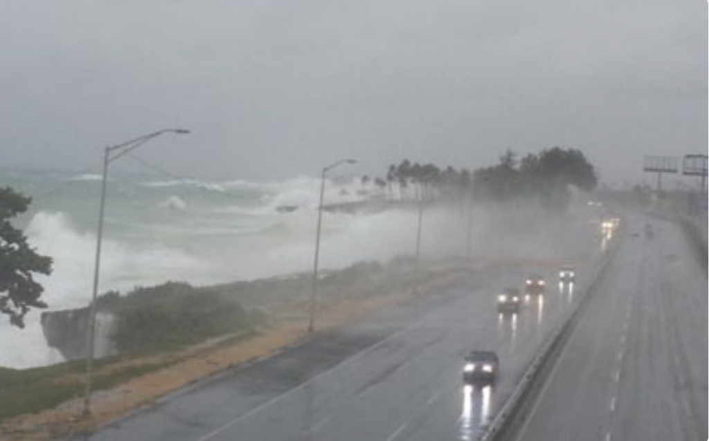
Maritime conditions on the Atlantic Coast remain windy and with abnormal waves. The Weather Office recommends that small boats remain in port.
For Tuesday, 26 July 2022, an increase of Saharan dust particles is forecast. The dust, together with an anticyclone system, is expected to reduce the rains. Nevertheless, the Weather Office says that the daytime warming and the warm wind from the east/southeast will still bring isolated and passing showers in the afternoon, especially to localities of the northeast, southeast and the Central Mountain Range.
Read more in Spanish:
N Digital
Onamet
Twitter:
26 July 2022