
With forecast of the “polar” temperatures to continue on Tuesday and Wednesday, the Dominican Republic is experiencing its coldest February in years. The cold weather is affecting cities, mountains and even low lying beach areas.
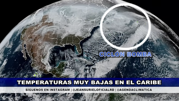
The defining characteristic of this week’s weather is the arrival of a polar air mass. Forecaster Jean Suriel noted that the fresh northeasterly breeze will keep daytime temperatures pleasant, while nighttime lows drop to unusual lows.
In urban centers like Santo Domingo and Santiago, lows have been hovering this week between 20°C and 22°C (68°F–72°F). However, in high-altitude areas such as Constanza and Valle Nuevo, temperatures are falling to around 10°C (50°F), marking some of the coolest conditions of the season so far.
The weakening cold front and a persistent trough is expected to maintain unstable weather conditions across much of the Dominican Republic over the next 48 hours, according to the latest bulletins from the Dominican Institute of Meteorology (Indomet).
While the core of the frontal system is beginning to move away from the national territory, residual moisture and northeasterly winds will also continue to trigger scattered showers and occasional thunderstorms.
Meteorologist Jean Suriel has highlighted that the primary impact of this system remains a significant drop in temperatures, particularly in mountainous regions and the northern provinces.
Maritime conditions remain a concern on the Atlantic coast. Indomet has issued a recommendation for operators of small and fragile vessels to remain close to the shoreline, citing abnormal waves and gusty winds driven by the frontal system.
As the system continues to dissipate, weather experts expect a gradual stabilization of conditions by late Thursday, though the “winter-like” chill is predicted to linger through the end of the week.
Read more:
Jean Suriel
Francisco Holguin
Hoy
Mr Weatherman
3 February 2026