
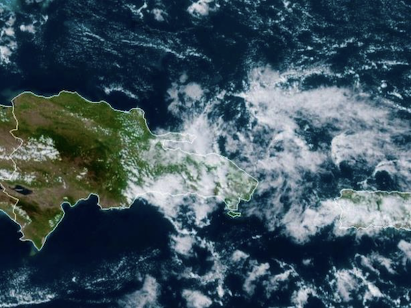
People in the DR are enjoying the noticeably cooler and windier weather since Saturday, 7 February 2026 as a weak cold front and a polar air mass has settled over the national territory. According to the latest bulletins from the Dominican Institute of Meteorology (Indomet) and weather analyst Jean Suriel, the beginning of the week will also be characterized by intermittent rains, strong gusts of wind, and the agreeably low temperatures.
Starting in the early hours of Monday morning, the combination of the frontal system and orographic effects will trigger cloudy skies and intermittent showers. The most affected areas will be the Atlantic coast, the Cibao Valley, and the Central Mountain Range.
Specific provinces under watch for frequent rainfall include:
• North and Northwest: Puerto Plata, Espaillat, María Trinidad Sánchez, Valverde, and Monte Cristi.
• Central Region: Santiago, La Vega, Monseñor Nouel, Sánchez Ramírez, and Duarte.
• Northeast: Hermanas Mirabal.
In contrast, the rest of the country is expected to see scattered clouds with predominantly windy conditions.
Meteorologist Jean Suriel has highlighted that February 2026 is seeing high activity from winter phenomena due to the destabilization of the polar vortex. For this Monday, Indomet forecasts minimum temperatures between 19°C and 21°C (66°F – 70°F), with maximums hovering between 28°C and 30°C (82°F – 86°F).
In mountainous regions and interior valleys, the mercury is expected to dip further, accompanied by fog and mist, creating a very “fresh and pleasant” atmosphere that Suriel notes will persist for several days.
Maritime alert: dangerous surf
Authorities have issued a stern warning for the Atlantic coast. Due to abnormal winds and waves, small and medium-sized vessels are advised to remain in port, particularly from Punta Mangles (El Seibo) to Cabo San Rafael (La Altagracia). Dangerous swells are expected to intensify starting early Monday morning.
Greater Santo Domingo forecast
For the capital city and surrounding areas, residents can expect:
• Distrito Nacional & Santo Domingo North/West: Partly cloudy to cloudy and notably windy.
• Santo Domingo East: Occasionally cloudy with strong gusts.
Outlook for Tuesday
The drying trend will begin on Tuesday as a high-pressure system moves in, bringing sunnier but still windy conditions. Nevertheless, the Atlantic coast and the Central Mountain Range may still experience isolated light rains due to a remaining trough and northeast winds.
Read more in Spanish:
Indomet
El Nacional
Jean Suriel
9 February 2026