
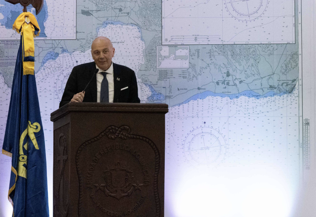
The director of the International Hydrographical Organization (IHO) urges the updating of the navigation charts for Dominican waters given the many incidents that have already occurred. Italian Rear Admiral Luigi Sinapi made the remark when participating in the “Role of Hydrography in the Sustainable Development of the Oceans” workshop on oceanography organized by the Dominican Armada at the 27 de Febrero Naval Base.
To make up for deficiencies, Dominican ports currently send expert pilots to guide large ships into several leading ports.
During his visit to Santo Domingo, Sinapi also met with President Luis Abinader at the Presidential Palace.
With 90% of the world’s commerce traveling the oceans, precise navigational assistance and correct hydrographical maps are a necessity, according to the visiting admiral.
The International Hydrographic Organization is an intergovernmental organization that works to ensure all the world’s seas, oceans and navigable waters are surveyed and charted. Established in 1921, it coordinates the activities of national hydrographic offices and promotes uniformity in nautical charts and documents. It issues survey best practices, provides guidelines to maximize the use of hydrographic survey data and develops hydrographic capabilities in member states.
IHO explains that hydrography is the basis for all activities involving the sea:
- Safety of navigation
- Tourism
- Protection and management of the marine environment
- Search and rescue
- Use of marine resources: minerals, oil & gas, renewable energy
- Maritime boundaries and policing
- Maritime trade
- Marine science
- Coastal zone management
- Marine spatial data infrastructure
- Fishing, aquaculture and mariculture
- Recreational boating
- Maritime defense and security
- Tsunami flood and inundation modeling
Read more in Spanish:
Diario Libre
Listin Diario
IHO
27 November 2023