
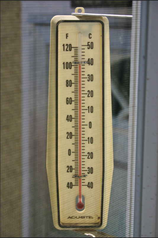
The steaming heat of Wednesday, 18 May 2022 brought everyone a reminder that summer weather is on its way in. After a mild spring, the sweltering heat had everyone who could heading for air-conditioning.
Reports are that the concentration of Saharan Dust combined with the warm winds that are blowing over from Africa are bringing the hazy skies that can be seen nationwide.
The National Weather Office (Onamet) forecasts a prolonged surge of Saharan Dust that will prevail across the Caribbean this week, reducing visibility and air quality.
Onamet forecasts predominantly cloudy skies with moderate to locally heavy downpours in isolated areas nationwide, especially in the northwest, north and the Central Mountain Range.
On Thursday, 19 May 2022, in the afternoon, in focal areas of the northwest, north and the Central Cordillera, there will be local downpours, thunderstorms and isolated wind gusts due to the humidity left by a passing trough and local effects. In most of the territory, the sky will be sunny, yet hazy due to African dust in the air mass and scattered clouds.
Onamet says temperatures will remain warm, due to the warm wind from the east/southeast, especially in urban and coastal areas.
Read more:
Onamet
Fox Weather
19 May 2022