
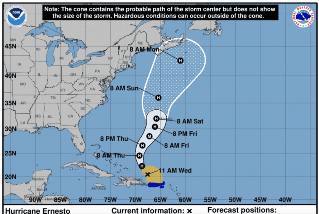
The DR somewhat got a respite with the passing of TS Ernesto as it nicely turned to the north over Puerto Rico and earlier than expected began its trek to the north through the Atlantic Ocean. Puerto Plata was impacted by the winds and rains. Around 10 flights from Dominican airports to the Caribbean (British Virgin Islands, Antigua, Guadeloupe), especially San Juan, Puerto Rico from were canceled due to the storm.
It was practically a “no show” for the Dominican Republic. The storm is now headed north through Atlantic waters with the NHC of the United States indicating Bermuda and the eastern shores of Canada are on its path.
The Center for Emergency Operations (COE) nevertheless increased the weather alert level for 17 provinces due to the effects of a trough associated with the today Hurricane Ernesto.
Provinces on yellow alert are: La Altagracia, Hato Mayor, La Romana, Samaná, El Seibo, and Azua.
Those under a green alert are: Santo Domingo, National District, Espaillat, Monte Plata, Duarte, San Cristóbal, San José de Ocoa, San Pedro de Macorís, María Trinidad Sánchez, Hermanas Mirabal, and Peravia.
Regarding maritime conditions, on the Atlantic coast, small and medium-sized vessels are advised to remain in port due to a progressive deterioration of waves and abnormal winds from Cabo Engaño (La Altagracia) to Bahía Manzanillo (Monte Cristi).
For Thursday, the National Weathern Office (Indomet) indicates that Hurricane Ernesto is far from Dominican territory, moving over the Atlantic waters, but the effects of the trough will continue. Therefore, scattered showers, thunderstorms, and wind gusts are expected in the southeastern and northeastern regions during the early morning and morning hours, becoming less frequent in other areas.
Read more in Spanish:
Indomet
CDN
N Digital
15 August 2024