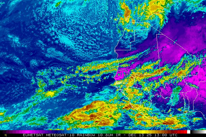
let's find out how much TD2 will struggle or not.
it is now starting to touch hostile grounds in case of windshear,
due that i would say it had it's peak time already this morning and should not grow further powers.
but all other conditions go more favorable for a Storm from now on,
the Sea Surface rising on the Path, the Atmosphere perfectly moistured, far away from the Shield of Saharan dry Air.
my best guess is that it will not manage to grow powers, max a weak TS and more likely just a TD.
as such wandering from the SE in the Caribbean Sea tracking W-WNW.
as a moisture fueled TD tacking the middle Lane of the Caribbean Sea steaming from E to West.
Betya this Wednesday we will encounter Xtreme Levels of HIgh Sea's out there.
the High Sea Dangers will have their most/full effects on the Eastshores from the Cape Southwards along Juanillo
and then all along our Southshores from Rafael de Yuma to Barahona.
ty up the Botas nicely and do not plan on any Boat Activities fo this Wednesday,
the Authotities sure will close anywatersports, at least they should.
Waves rolling along our shores will range somewhere 10-15ft with 20'ers as the Tops.
Wind should not be anything bad, around 15knots, Gust Tops could be 20Knots at some spots.
it will all pass very quick on wednesday, that TD2 is steaming on high speed, a F1 runner of stormy systems.
it's high forward speed is one of the reasons why it did not grow stronger.
so, under the line:
if you have boats or run water activities or live right on the Beach on the Southern Tip of the East or along the Southshores,
then Plan on a single Day Off this Wenesday, Ty up the boats tied and monitor the Wave Reports, as the High Sea's are the danger point of such System, not any wind powers or such.
Thursday we will all be back out fishing, IF the Authorities are smart enough to realize that it is long over an the Alerts should be lifted again, lol.
Mike