Windy.com uses 3 different models. I use it all the time. The Euro model seems to be the most reliable of the 3. So far it has forecast Fiona's track in advance very accurately.It's even better with a premium subscription.
- Thread starter Olly
- Start date
You are using an out of date browser. It may not display this or other websites correctly.
You should upgrade or use an alternative browser.
You should upgrade or use an alternative browser.
2022 Hurricane Season
- Status
- Not open for further replies.
This loop apparently auto updated since I posted it and it now looks like that "eye" is clipping the SW corner of PR. Maybe it has finally made that predicted NW turn which would be good for us(?).It looks like an eye is starting to form just off of Ponce:

Post-tropical Cyclone Fiona at 48.4°N - 60.5°W - NOAA / NESDIS / STAR
Near real-time publication of GOES-East and GOES-West images from NOAA/NESDIS/STARwww.star.nesdis.noaa.gov
It is now at the point to enter the Mona Channel, right at the Puerto Rico SW Corner.
The last couple hours it was scratching straight West along the PR Southwest.
Now is the time to see it turn back on NWern directions, the sooner the better, leaving PR behind.
The East Side of the storm will punish PR for a much longer time to come, I fear the worst for the Island Neighbours.
Measured windspeeds are actually already on 85mphr.

 www.star.nesdis.noaa.gov
The last couple hours it was scratching straight West along the PR Southwest.
Now is the time to see it turn back on NWern directions, the sooner the better, leaving PR behind.
The East Side of the storm will punish PR for a much longer time to come, I fear the worst for the Island Neighbours.
Measured windspeeds are actually already on 85mphr.

GOES-East - Sector view: Caribbean - Band 2 - NOAA / NESDIS / STAR
Near real-time publication of GOES-East and GOES-West images from NOAA/NESDIS/STAR
The NHC is forecasting up to 25 inches of water in Puerto Rico. Those poor people, I cannot imagine how terrible that would be. Sunny and light breeze in Santo Domingo at the moment.
Supposedly 100% of the island is without power.It is now at the point to enter the Mona Channel, right at the Puerto Rico SW Corner.
The last couple hours it was scratching straight West along the PR Southwest.
Now is the time to see it turn back on NWern directions, the sooner the better, leaving PR behind.
The East Side of the storm will punish PR for a much longer time to come, I fear the worst for the Island Neighbours.
Measured windspeeds are actually already on 85mphr.

GOES-East - Sector view: Caribbean - Band 2 - NOAA / NESDIS / STAR
Near real-time publication of GOES-East and GOES-West images from NOAA/NESDIS/STARwww.star.nesdis.noaa.gov
Yes PR has very vulnerable grid. Transmission lines knocked down easily.Supposedly 100% of the island is without power.
Rain started here in Santiago about half an hour ago.
We appear to be on the Western edge of the rain bands.
We appear to be on the Western edge of the rain bands.
That's a crazy amount of rain. There are a few people post live streams from Puerto Rico on youtube, i didn't see much damage there. mostly palm tree branches.The NHC is forecasting up to 25 inches of water in Puerto Rico. Those poor people, I cannot imagine how terrible that would be. Sunny and light breeze in Santo Domingo at the moment.
Rain on and off in Samaná.

 freeimage.host

301D4955 75F7 4720 9D50 07FDCB6A2D97
Image 301D4955 75F7 4720 9D50 07FDCB6A2D97 hosted in Freeimage.host
Taken just s frw minutes ago showing todays rain so far at private weather stations. Don't believe all the hype on tv. But do be prepared.
Taken just s frw minutes ago showing todays rain so far at private weather stations. Don't believe all the hype on tv. But do be prepared.
Numbers are temp. The arm with the bars off the end is wind. The highest I've seen is 3 bars, 49 mph.
I read a note on a weather app that said the power outages in PR are causing issues with data collection. Even if the website/app shows the current time the data may not be real-time.
View attachment 6334
Numbers are temp. The arm with the bars off the end is wind. The highest I've seen is 3 bars,
yep. been watching a stocking video call from friends in PR, nice trees in the garden went flying.I read a note on a weather app that said the power outages in PR are causing issues with data collection. Even if the website/app shows the current time the data may not be real-time.
The Hurricane Wind Windfield is small and extends only towards the NE of the Center, so most should not get the full wind force.
But most of PR will fee TS Wind Force which apparently is enough for their never recovered(since Maria) electricity system.
The Center left PR and shows WNW Tracking, that's what we need to see.
if it sticks teh next hr to this, means it is really back on Track and will not come straight to our side of the Channel straight on land.
if it sticks teh next hr to this, means it is really back on Track and will not come straight to our side of the Channel straight on land.
Show the vid please. With time stampyep. been watching a stocking video call from friends in PR, nice trees in the garden went flying.
The Hurricane Wind Windfield is small and extends only towards the NE of the Center, so most should not get the full wind force.
But most of PR will fee TS Wind Force which apparently is enough for their never recovered(since Maria) electricity system.
haha, a video call i can't record to share, sorry.Show the vid please. With time stamp
On the windy website it's updated four times a day if you have a premium subscription.it is already 2PM Sund 18th, your app shows the storm far off S of PR at that time.
But it is already there scratching along the S Shores with it's Center.
Here you can watch it Live as the Fact where it really is at a given moment.
If not, you get updates twice a day, and they always indicate the time it was last updated.
Here's the first part of Fiona in Santo Domingo from earlier, not super exciting unless if you like looking at rain videos 
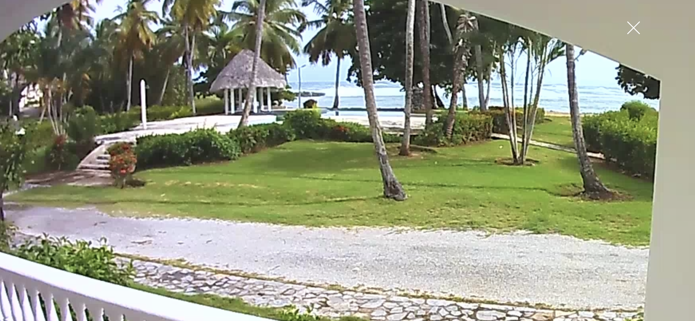
It rained for a minute. It hasn't rained the rest of the day, and it's cloudy but the sun is out. Right now I can see that the winds are picking up.
It rained for a minute. It hasn't rained the rest of the day, and it's cloudy but the sun is out. Right now I can see that the winds are picking up.
In Jamao we had about 20 minutes of high winds about an hour ago. The shades in my house were flying horizontally. No absolutely no winds, which is strange as there are constant winds here in the higher elevation where I live. Light rains right now. Hardly a drizzle.
Am alone tonight. Have solar power with backup from the street power. Been trying not to use electricity all day long so the batteries have a charge in case street power is off for some time.
Luckily, living in a small town, I always have people I can call in case of emergency.
Am alone tonight. Have solar power with backup from the street power. Been trying not to use electricity all day long so the batteries have a charge in case street power is off for some time.
Luckily, living in a small town, I always have people I can call in case of emergency.
- Status
- Not open for further replies.

